
Kokomo Neighbors by Source
A block search joins three layers. Howard County GIS describes the parcel's place and shape. The Auditor and Recorder supply the tax-list and title-document layers. City directories, released permits, meeting packets, obituaries, and civic pages can add a dated person or community link. None is a complete resident roll. Use the source that fits the question, then preserve its date, field labels, and limit.
| Source | What It Shows About a Block | Access |
|---|---|---|
| Howard Beacon GIS | Parcel outlines, situs points, roads, and visible map layers | Free viewer; live Howard form may fail |
| Howard Auditor tax list | Recorded owner, property address, mailing address, parcel, tax year | Free owner, address, or parcel search |
| Howard Recorder | Grantee, deed date, legal description, and prior instrument | Vendor index online; counter and subscription routes |
| City and civic sources | Projects, public group contacts, and self-described service areas | Public pages or direct request |
| KHCPL directories | Householders publicly listed at an address in a specific edition | Library, scans, microfilm, or staff help |
The owner may be a person, an entity, a trustee, or someone who receives mail elsewhere. One parcel can hold more than one structure, and one structure can carry several addresses. Renters, children, visitors, and lodgers ordinarily do not appear in the parcel roll. People around a Kokomo parcel should therefore be described as recorded owners, directory entries, public group contacts, or other exact roles, never as certain current occupants unless the source truly says so.
Read Kokomo Parcel Fields
The Howard Auditor tax list accepts owner name, property or parcel number, and property address searches. A result row can preserve the parcel identifier, owner name, property address, district, and tax year. It is a list row, not the complete parcel report. Beacon adds the spatial view, but the Howard live report was blocked during research, so exact local button and layer names should be verified on the current screen.
- Parcel
- A county identifier for a tract used in assessment and mapping.
- Situs address
- The address where the parcel or improvement sits.
- Mailing address
- The place tax or owner mail is sent; it may differ from the situs.
- Legal description
- Lot, block, subdivision, or boundary language identifying the land in a deed.
The practical insider method is to save the row, then verify it through Beacon and the Recorder. Preserve parcel, situs, mailing, legal description, and tax year as distinct fields. A mismatch may reveal an entity address, an old deed, or a data update. It should not be quietly blended into one address.
Map a Kokomo Neighbor Block
Move outward from one known parcel rather than searching a whole road. The map relationship shows which parcels touch. It does not identify each resident. Record the access date and visible layer before clicking adjacent shapes, because boundaries and displayed data can change.
- Locate the target address in Howard Beacon. Save the parcel ID, situs address, lot shape, road names, map date, and active layers.
- Use the map identify action on each touching parcel. Capture adjacent parcel IDs before recording any displayed owner name.
- Open the Auditor row for every selected parcel. Keep owner, property address, mailing address, district, legal description, and tax year separate.
- Confirm the title claim through the Recorder deed. For an old block, pair the deed with a plat, Sanborn map, and directory from the same era.
This process answers an immediate block question. The Kokomo street directory extends the method along an entire named street and explains the current address-record chain in more depth.
A Map Is Not Occupancy
Parcel adjacency is a GIS relationship, not proof of who occupies the structure next door. That is the key myth to discard. Beacon may display a land ownership name, address, parcel ID, report, and map layers after the current Howard implementation is confirmed. The Auditor may show an owner and mailing address. Neither promises a list of renters, family members, or all units on the site.
Use precise confidence labels: parcel confirmed, historic address clue, current public affiliation, not located, or protected and withheld. A result should be reproducible from the same address, date, visible parcel IDs, and layer. When a mailing address differs from the situs, report both labels rather than choosing the one that looks more like a home.
Note: A map selection is an analytical result, not a certified survey, title opinion, or complete list of nearby residents.
Kokomo Neighborhood Contacts
A civic question needs a civic source. Kokomo Engineering and Traffic publishes the official starting route labeled Neighborhood Organization and Support. The linked detail page did not render during research, so no complete city-certified roster or boundary map can be claimed. Howard County Community Network, sponsored by KHCPL, offers nonprofit and community contacts, but it is not a government resident directory.
| Community route | What it supports | Important limit |
|---|---|---|
| Kokomo Engineering and Traffic | Official neighborhood-support starting point | Current group fields and boundaries require direct verification |
| Howard County Community Network | Public nonprofit and civic contact leads | Not an official membership or household roster |
| Named watch and homeowner groups | External directory leads for Indian Heights, Brookside, Ivy Hills, Cotswold Hills, and Walton Lake | Verify status and service area with the group or city |
Review Kokomo's official Engineering and Traffic page beside the captured neighborhood-support route.

The city page supplies the proper first contact when a group roster or current boundary cannot be confirmed. Do not assign a household to an association just because its parcel appears near a name on an outside map.
Kokomo Voter Record Limits
Indiana Voters confirms registration and polling information through an individual service. It is not a public street-by-street resident list. Howard County Voter Registration at 120 E. Mulberry Street, Room 100 handles local registration maintenance, precinct corrections, and voter-file questions. Indiana Code 3-7-27-6 governs access and use, while protected records and ACP flags carry added limits.
Birth date, gender, Social Security number, signatures, ballot details, and protected contact data may be restricted or redacted. A public lookup can answer a registration or polling question for the person using it. It cannot fill gaps in a list of nearby residents. If a specific election record is needed, ask the county office for an existing releasable record and accept the statutory redactions.
Historic Kokomo Households
KHCPL city directories can show householders attached to an address in a given edition. Older entries may use h. for home, bds for boards or lodges, rms for rooms, and wks for works at. Those labels are editorial clues, not current facts. Read the edition key and capture the whole page, year, address, and abbreviation.
When a number or street name does not match today's parcel, use the Recorder legal description, lot and block, prior deed, and a Sanborn map to bridge the place. Sanborn maps show building footprints, material, use, stories, and additions, but not everyone inside. A directory, deed, obituary, permit, or probate file supplies the people or legal link.
The North Buckeye and old Railroad Street example in local research shows why the bridge matters: an 1860 deed book and page can be tied to a later building footprint, while a modern address alone may miss the trail. Record the old and new labels rather than silently rewriting one.
Kokomo Neighbor Tool Differences
Official records are slower to join, but each comes with a keeper, date, role, and correction route. Commercial neighbor tools compile many sources into quick profiles. Their address and household links can be stale, blended, or based on the same-name person. They should remain leads, never final proof.
| Source type | Strength | Weak point |
|---|---|---|
| Howard official rolls | Dated parcel, deed, case, or filing fields from a named custodian | No single roll lists all current occupants |
| Library and archive sources | Edition-specific address and household history | Historical, incomplete, and sometimes in person only |
| Commercial compiled tools | Fast name, phone, and address leads | Same-name errors, stale links, unclear update dates |
Verify a compiled lead through a Howard record and describe the official role exactly. A deed grantee is not automatically an occupant, and a directory entry from one year is not a current address.
Kokomo Block Safety Records
For a specific released incident or Sheriff record, use the agency's own request route. The Kokomo Police request system asks for enough detail to locate the record and may withhold investigatory material. The Howard Sheriff also publishes a public-record request page, while Howard dispatch lists a non-emergency contact route. These are incident-record channels, not household directories.
Open the Howard County Sheriff public-record request page shown in the captured source.
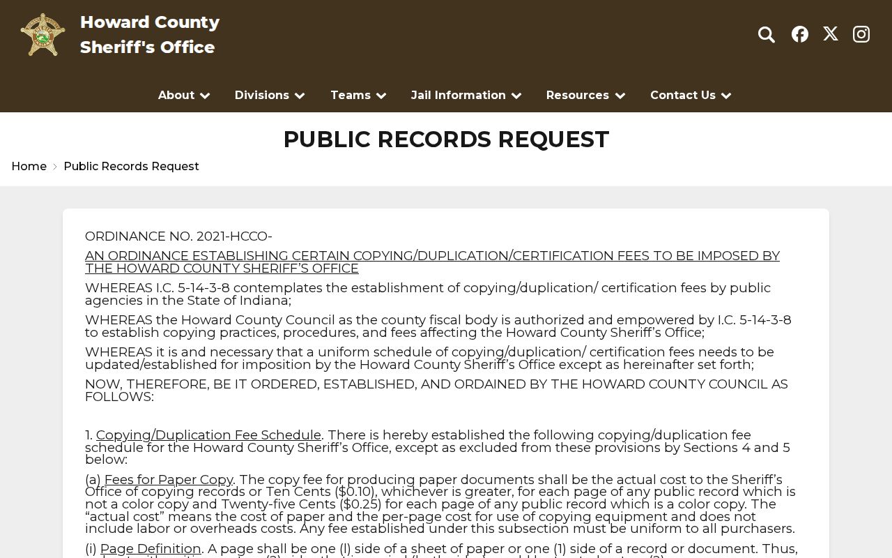
Ask for an existing record by incident type, date range, report number, or location, and expect lawful redactions. For an immediate threat use emergency services, not a directory search.
Kokomo Block Project Records
Not every neighbor question is about a name. Kokomo Inspection Services, Engineering and Traffic, the Plan Commission, and public meeting packets can explain work that affects a block. Released permit or plan records may identify the address, project type, application date, applicant, contractor, parcel, or meeting action. Those fields describe a dated filing role. They do not prove that the applicant owns or occupies the site.
The city meeting page lists Council, Plan Commission, and Board of Zoning Appeals agendas and minutes. Search the address, subdivision, project name, or nearby road. If the public page does not expose the record, contact the named city office and ask for the existing permit, application, packet, map, or decision by date. Give enough detail to locate it. Indiana APRA allows requests for public records subject to exemptions, but the office does not have to create a fresh block analysis.
Keep city work separate from the parcel layer. A road permit can affect access without changing title. A zoning action can cover an area larger than one lot. A code complaint may contain redactions or investigatory details that are not released. Confirm the address against the Auditor parcel and describe the city record with its own date and purpose.
Note: A permit applicant or meeting speaker is a public filing role, not automatic proof of ownership, residence, or group membership.
Document Kokomo Neighbor Findings
A repeatable block worksheet prevents names and places from drifting together. Begin with the target address exactly as printed, then keep a USPS-normalized line in a separate field. Add parcel ID, situs address, mailing address, legal description, adjacent parcel IDs, map date, visible layers, Recorder document and date, directory edition and page, and any current civic-group link. One field should never overwrite another.
- Label the result parcel confirmed only when the parcel ID and map relationship agree.
- Use historic address clue for a dated directory, deed, obituary, or map link that is not current.
- Use current public affiliation only when an official or organization page names the role and date.
- Use not located when a named source was checked without a match.
- Use protected or withheld when the source displays a privacy restriction.
If an old street number fails, test directional abbreviations, prior names, lot and block language, nearby numbers, the deed legal description, and a Sanborn sheet. Do not force a match. If a neighborhood boundary comes only from a group's page, call it the group's self-described service area and save the page date. Another researcher should be able to repeat the same Kokomo block search from the recorded address, parcel IDs, layer, and access date.
The 2026 preliminary flood-map notice is another reason to date every map claim. Its appeal period and preliminary status mean it should not be described as a final parcel designation. Check the current city or FEMA source before attaching flood context to a block.
Privacy on a Kokomo Block
Ordinary public records cannot promise every occupant, renter, lodger, child, visitor, utility customer, unlisted phone number, driver address, or protected voter field. Indiana's Address Confidentiality Program gives eligible survivors a substitute address. Howard GIS may withhold protected residence data under IC 36-1-8.5. If that message appears, preserve it and stop. Do not rebuild the hidden location from another source.
A blank result can mean a portal gap, a different address form, an older record, or a lawful protection. It is not evidence that no person or parcel exists. Contact the source office for a correction and state only what its released record supports.
Lawful use. Research nearby residents only for lawful civic, family, historical, or personal safety purposes. Never use a result for unwanted monitoring, threats, stalking, or harassment.