
Walk a Kokomo Street by Address
A sound Kokomo street directory search follows the land record before it follows a person. The Howard County Auditor tax list supplies the parcel number, tax district, name field, and property address. Beacon adds the map relationship, while the Recorder connects the current grantee, meaning buyer, to an earlier grantor, meaning seller. Voter records and printed directories are separate evidence. Neither should be treated as a list of all people in a building.
- Enter the full property address in the Howard Auditor tax list. Save the parcel number, district, displayed owner name, tax year, and address exactly as shown.
- Open Howard Beacon and locate the same parcel. Inspect nearby parcels and useful layers, but record that the exact local interface was not fully verified during research.
- Use the Recorder search to find the current owner's purchase deed. Match its legal description to the parcel rather than relying only on the street number.
- Check released voter information only through the official county and state routes. An individual voter result is not a bulk roll for a whole street.
- For older occupants, consult a reverse or criss-cross directory when that edition has an address index. Otherwise, use the surname index and verify the printed page.
This flow separates ownership from occupancy. A deed proves that an instrument was recorded. It does not prove the move-in date or name every household member. A directory entry can place an adult at an address in one edition, but it does not establish title.
Kokomo Street Directory Search Fields
The Howard County Auditor tax list is the clearest first search because its local controls were inspected. Search with the least text that can identify the parcel. The page warns that too much text may narrow the match, and recently split or combined parcels may be easier to find by owner surname.
| Visible control | Input | Required | Result or use |
|---|---|---|---|
| Property/Parcel Number | Text | No | Full or partial parcel search |
| Name | Text | No | Owner-name search; surname alone may work best |
| Property Address | Text | No | Search the physical parcel address |
| Tax Year | Select | No | Sets the tax-list year |
| Results | Table | Not applicable | District, parcel number, name, and property address |
View the Howard Beacon property-search source used for the street directory capture.
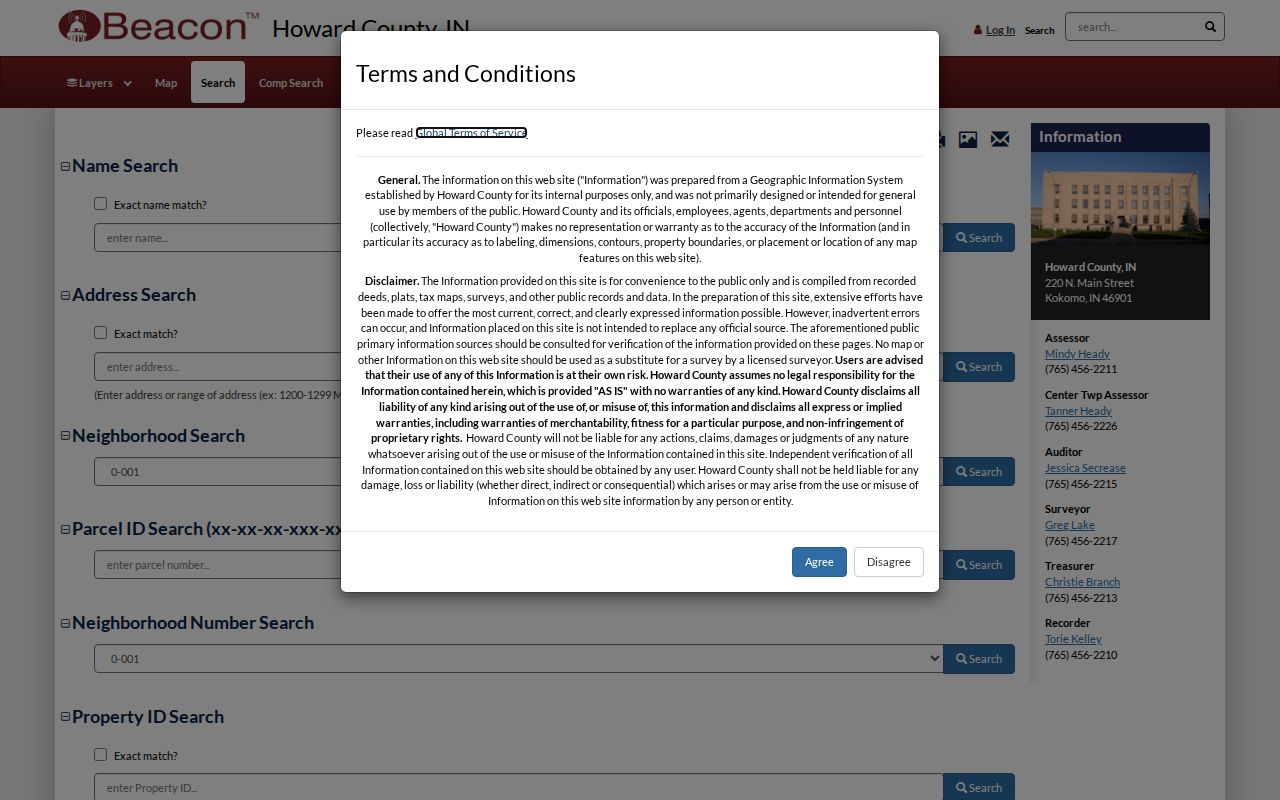
The capture identifies the official parcel-search destination. Because the Howard live form was blocked during inspection, do not claim that every generic Beacon field is active locally without checking it again.
Kokomo Address Terms That Matter
Three address labels can point in different directions. The property address is where the parcel sits. The mailing address is where tax correspondence goes, and it may be outside Kokomo. The legal description follows the land through deeds, plats, lot numbers, and boundary changes. Keep all three labels when they appear.
- Parcel
- A mapped unit of land with its own county identifier.
- Situs address
- The physical location of the parcel, also called the property address.
- Plat
- A recorded map that divides land into lots, blocks, streets, and easements.
- Criss-cross directory
- A directory arranged by address or phone, rather than only by surname.
Insider tip: an Auditor result row is not a full parcel card. Preserve its parcel, name, and property address, then confirm the finding in Beacon and Recorder records.
Records Along a Kokomo Street
No single Howard County source answers every address question. The strongest street directory combines a current tax row, a map, and the recorded instrument. Permits, plats, and historical directories then answer narrower questions about work on a site or people listed there in a certain year.
| Address record | Official keeper | Street-level evidence | Access route |
|---|---|---|---|
| Tax list | Howard Auditor | District, parcel, owner/name, property address | Online list, phone, or counter |
| Parcel map | Assessor, Beacon, Surveyor | Parcel shape, nearby lots, map layers | Online viewer; office fallback |
| Deeds and plats | Howard Recorder | Parties, instrument date, legal land description | Tapestry/LAREDO, counter, older books |
| Permits and plans | Kokomo Inspection Services, Engineering | Address, proposed work, plans if released | Application records, counter, APRA request |
| Historic directories | KHCPL and Indiana State Library | Adults listed at an address in one edition | Library, microfilm, selected scans |
The parcel number and legal description are the stable links. Street spellings and house numbers can change, while land records may keep the lot, block, subdivision, section, township, range, or prior deed reference.
Each access channel fills a different gap. The Auditor and Assessor offices at 220 N. Main offer phone and counter help when an online name or address returns too much. The Surveyor can answer questions about section corners, regulated drains, and older plats. Recorder staff can help locate an index entry and supply a plain or certified copy. KHCPL and the Indiana State Library are the fallback for microfilm, older land material, and editions that are not online. For a city permit or code record, use the responsible Kokomo department and ask for an existing record by address and date span.
Map Kokomo Streets With Beacon
The Howard County Beacon GIS viewer is the map side of a by-address search. Generic Beacon instructions describe name, address, Parcel ID, and Tax Bill ID searches, plus Map, Search, Results, and Report tabs. Map tools may identify, zoom, pan, measure, select, clear, and print. Potential layers include assessor parcels, surveyor parcels and drains, zoning, flood plains, districts, subdivisions, corporate limits, and voting precincts.
Those generic controls are useful leads, not a promise about the live Howard layout. Save the map date and visible layer names. Selecting the next parcel shows a land relationship only. It does not prove who sleeps in the next structure, and a parcel owner may receive mail elsewhere.
Build a small worksheet for every lot examined. Record the source date, parcel ID, property address, mailing address when released, legal description, adjacent parcel IDs, and the layers turned on. Add the Recorder document number only after the deed description agrees. This makes a by-street result reproducible and exposes a mismatch before two people or two lots are joined. If a Beacon name result is withheld, preserve that status and do not try to infer the protected name from a neighboring record.
Note: Howard's live Beacon fields and parcel-report layout should be rechecked before describing an exact button, card, or local layer as available.
Follow Kokomo Streets Into Deeds
The Howard Recorder Online Records Search has several time layers. The current database begins January 1, 1961. LAREDO deed index and images reach 1923 to the present, while older deed documents from 1844 through 1923 are being indexed. A missing hit in one layer is not proof that Howard County lacks the deed.
Search the present owner as grantee near a known transfer date. Read the deed image for the grantor, grantee, document number, prior deed, and legal description. Then search the seller as a prior grantee. Name order, married names, business suffixes, lot and block language, and spelling variants can all matter. For older material, ask at the Recorder counter or use State Library microfilm and county deed books.
Open the Howard County Recorder office page shown in the source capture.
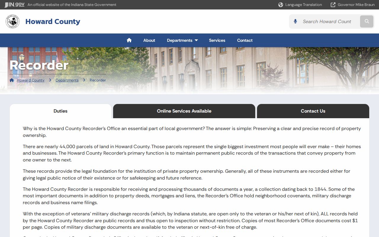
The office page supplies the public counter route when a vendor search fails. Most Recorder copies are listed at $1 per page; special rules protect military discharge records.
Bridge Old Kokomo Street Names
Historic Kokomo addresses may use a prior street name, a different number, or no ZIP Code. No verified citywide renumbering year was found, so do not force an unsupported conversion. Preserve the old printed form and use the legal description, a plat, a city map, and adjacent numbers to test whether the land is the same.
The documented North Buckeye and old Railroad Street example shows the method. A Howard County Historical Society account links an 1860 deed in Book L, page 203 to a later Sanborn footprint. The deed names the parties, price, acreage, and subdivision into lots; the fire-insurance map shows the building shape and later addition. That is a model for one parcel, not a rule for all Kokomo streets.
Consult the Indiana Sanborn map index used for the historical street capture.
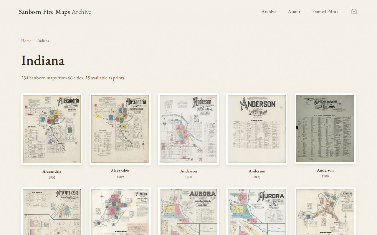
Sanborn maps can show construction, use, stories, and additions. They do not name the owner or every resident, so pair them with deeds and a directory edition.
Read Kokomo Streets in Print
Kokomo city directories run unevenly from 1876-77 through 2001, with later 2012 and 2015 holdings. Some issues include reverse or criss-cross access, but that arrangement must be checked volume by volume. Other editions list people by surname. A printed entry may show an adult name, spouse, work abbreviation, address, and phone. It can leave out children, lodgers, or anyone missed by the publisher.
The KHCPL Genealogy Collections bring directories together with local maps, court books, obituaries, newspapers, land entries, and cemetery material.
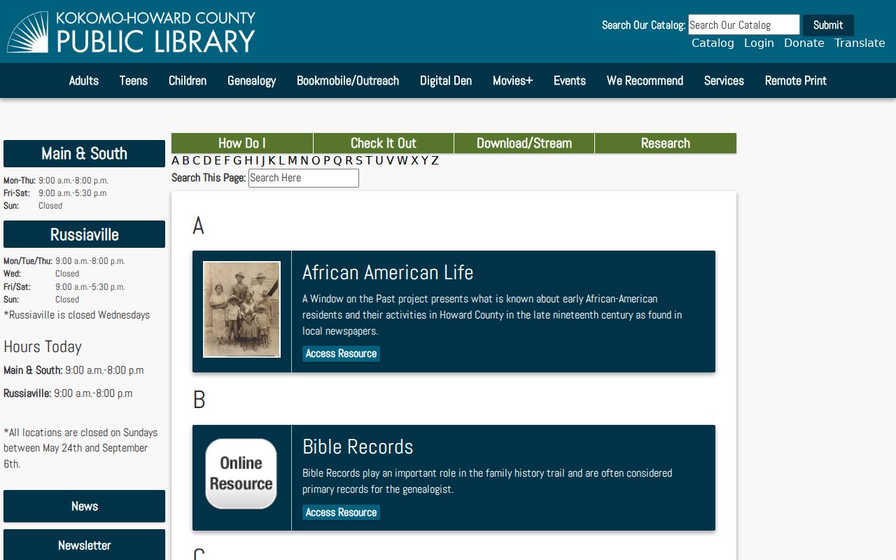
The capture marks the local library route for address history. Detailed publisher runs and how to read the books belong on the Kokomo city directory collections page.
Kokomo Street Permits and Plats
Kokomo Inspection Services uses address and location information for permit work. City Engineering keeps subdivision and commercial improvement drawings, while the Plan Commission handles plats, development plans, zoning matters, and public hearing records. Research did not locate an open public permit-history search with verified result fields.
Ask by the exact address and date span. If the street number changed, add the parcel number, subdivision, lot, and block. Existing released records may also be requested under the Indiana Access to Public Records Act. A permit can show work proposed at a site and the named applicant, but it does not identify every resident.
Kokomo Street ZIP Myths
A Kokomo mailing ZIP does not prove that a parcel lies within Kokomo city limits or one named neighborhood. ZIP Codes route mail. County GIS establishes the parcel jurisdiction. The USPS ZIP Code Lookup can standardize the delivery line, while the Auditor and Beacon tie that line to land.
Keep the USPS line, parcel situs ZIP, and owner mailing ZIP as separate fields. A historical deed or directory may predate ZIP Codes, so any modern ZIP added to it must be labeled as a later normalization, not copied as if it appeared in the original.
Limits of a Kokomo Street Directory
Public address records can show parcels, named owners, deed parties, permits, and people listed in a specific directory edition. They cannot promise all occupants. Utility customer lists are not public resident rolls. DMV address information is limited by federal and state law. Protected voter information, confidential court material, and an Address Confidentiality Program participant's location must remain protected.
A Howard GIS name-to-home link may also be suppressed under Indiana Code 36-1-8.5. A blank or withheld result can reflect a legal protection rather than the absence of a parcel. Use the office route to clarify the record without trying to defeat that protection.
Lawful use. Use Kokomo street records for family history, parcel research, civic questions, and other lawful purposes. Never use an address trail to stalk, harass, intimidate, or harm anyone.